Tan Bark to McWay Falls
McWay Falls is a short walk from a Highway 1 parking lot. I came to it over a 2,100-foot ridge, and the only way home was back over it.
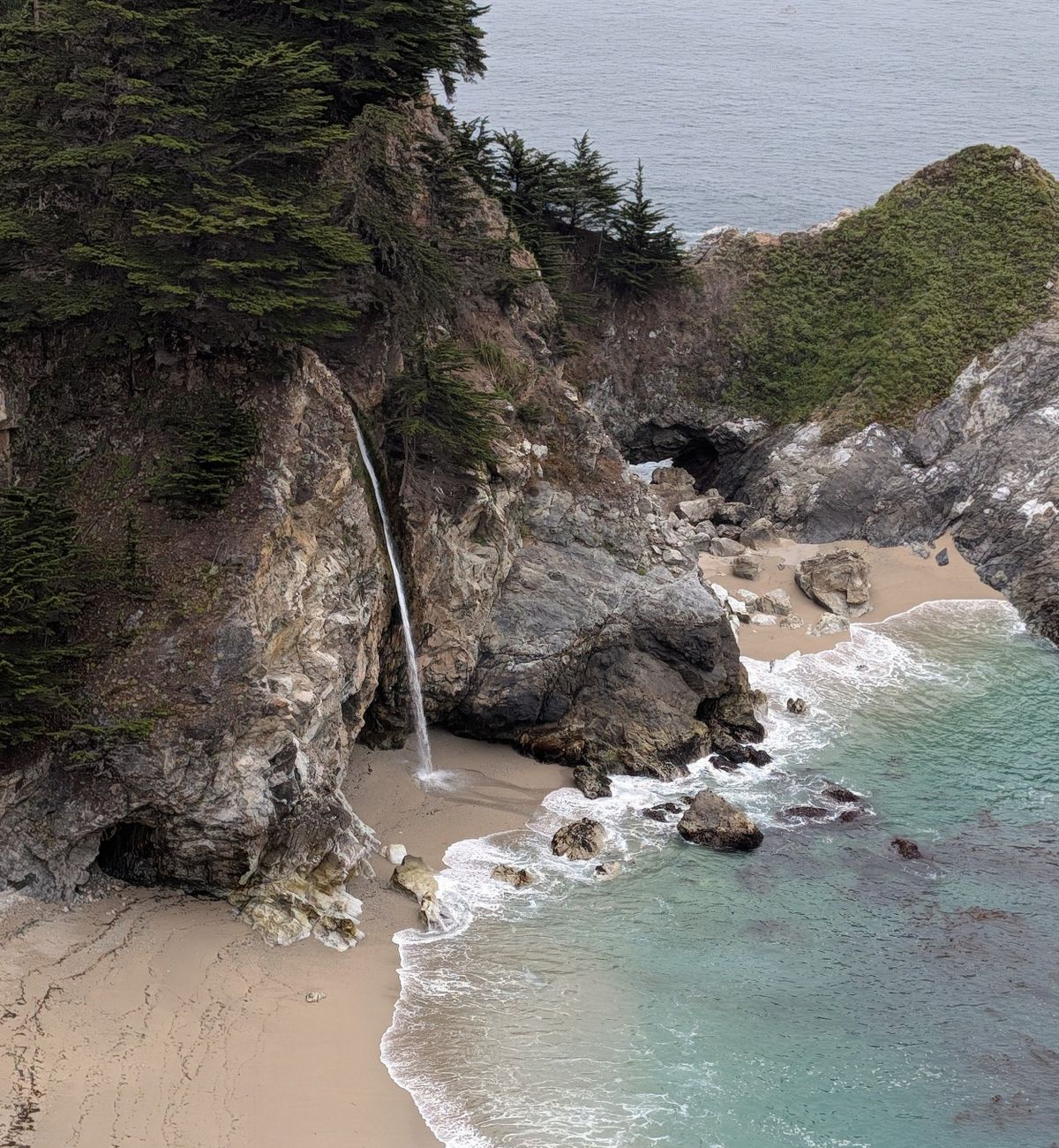
Seven miles in, at the bottom of McWay Canyon, I stepped off the park path to look at McWay Falls dropping onto the sandy cove below. Most people see it after a short walk from a parking lot on Highway 1. My friend Brian and I had come over a 2,100-foot ridge to get there.
The falls were the halfway point. The only way home was back over that ridge, and the way back is steeper.
6:30 a.m.
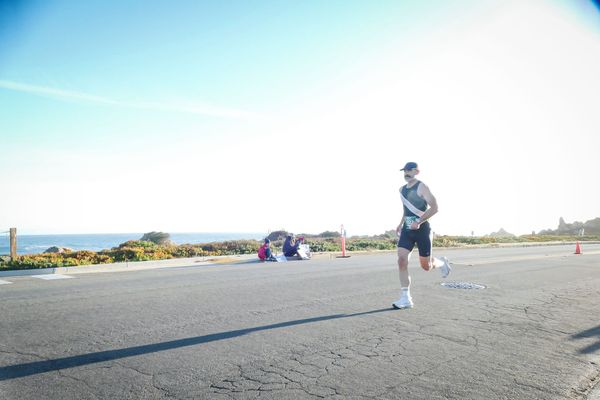
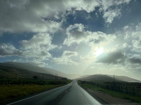
Brian and I met at the Starbucks at the mouth of Carmel Valley, coffee in hand by 6:30, then headed south on Highway 1. The word has long been out on Big Sur, and the weekend crowds are real. Leave early and you beat the traffic, skip the parking hassle and, coming from Monterey, you’re home by lunch.
We parked at the Partington Canyon pullout and were on the dirt at 7:26.
Up Partington Canyon
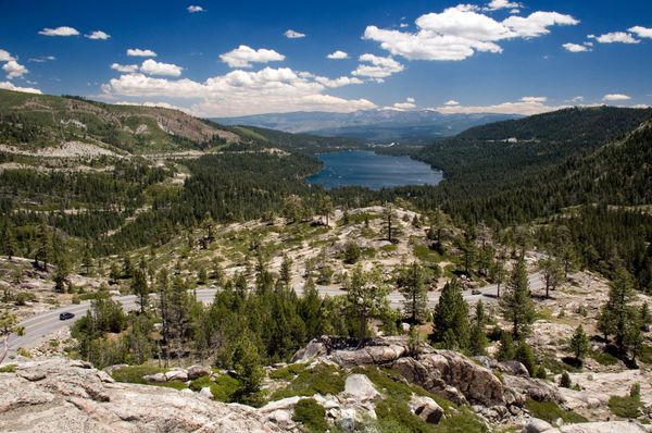
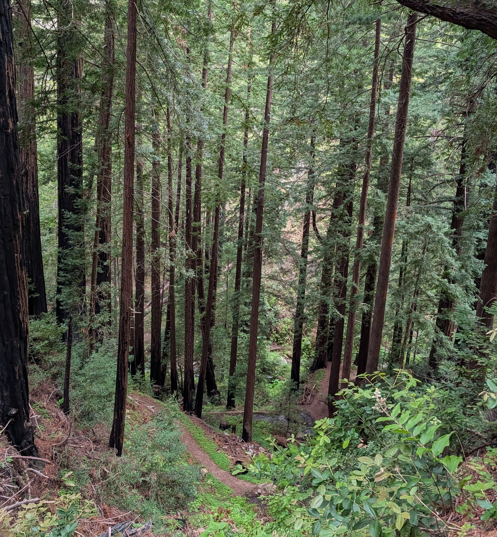
The trail starts near sea level and climbs for three miles, steady the whole way, to 2,100 feet above the ocean. The switchbacks are well built, so it never felt too steep on the way out. You start deep in the canyon, in the redwoods, with the sound of the creek beside you. Then you come out on top and the Pacific opens up.
The marine layer was still burning off. Fog cut through the trees and the clouds while I found my rhythm.
Down to McWay
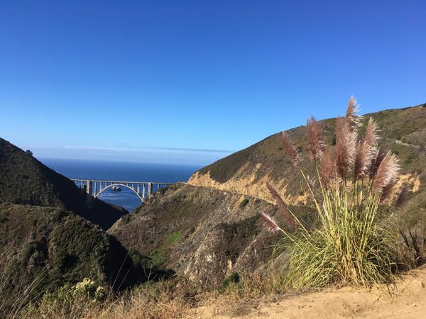
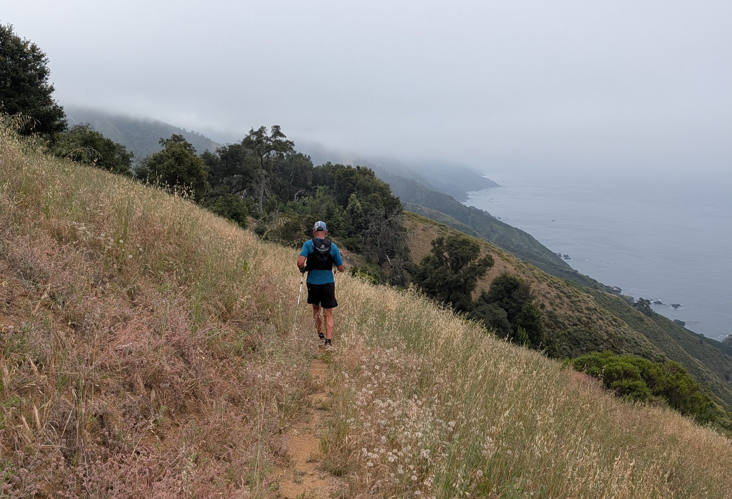
Past the top, around mile 3, the trail changes. It’s a steady three-and-a-half-mile descent toward McWay Canyon, inside Julia Pfeiffer Burns State Park, and the views keep getting better. I locked into the zone and the miles disappeared.
At the bottom are the parking lot and restrooms, a good place for a quick reset. Then the falls, a reminder of why I go out and explore. Then we turned around.
The climb back
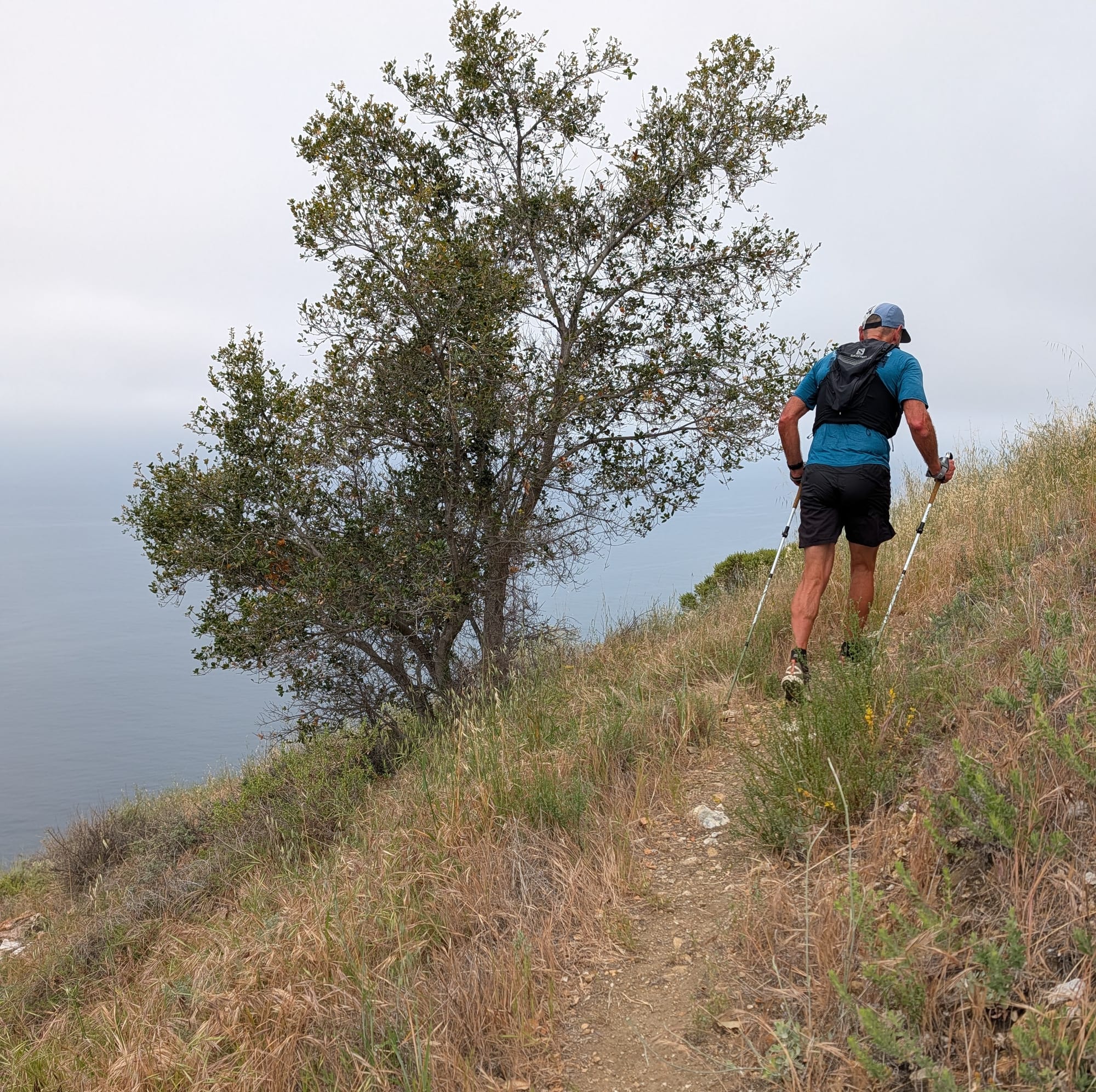
What goes down comes back up. The return is the same trail, and the haul from McWay back to the 2,100-foot ridge is a steady grind. Compared with the morning’s switchbacks, this side felt steeper and took all the discipline I had. This is where effort wins. It was a test of legs and head at the same time.
The route
- Out and back from the Partington Canyon pullout on Highway 1, about 14 miles
- Up to 2,100 feet twice, 4,000+ feet of climbing in all
- 3 to 4 hours; I was moving for 3:19
- Redwood canyons first, then wide ocean views
- Works whether you run ultras or you’re coming back to running after time away
- Start early, bring a hydration vest and trail shoes, and go find your own answers on the Tan Bark
Down to the pullout
Once we topped out on the ridge the second time, the hard work was done. Epiphanies don’t come from sitting still. Out here they’re in the dirt, the distance and the discipline it takes to move along the edge of the world.
From the ridge it was a steady roll down the mountain, back into the redwoods and the sound of the creek, to the pullout where we’d started, the creek running on to the same ocean the falls drop into.