Snively’s Ridge
About two miles up, Jill asked the question every first-timer asks. I gave her the answer every veteran gives.
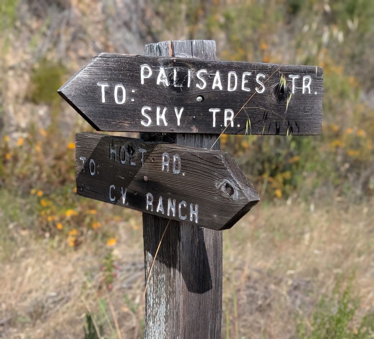
About two miles up, Jill looked up the trail and asked the question every first-timer on Snively’s Ridge asks: “Where is the top?”
I smiled and gave her the answer every veteran gives: “We’re almost there.”
We weren’t, quite. There was a mile and a half to go.
Garland Ranch
A few weekends back, Jill and I took to the trails in Garland Ranch Regional Park in Carmel Valley. It was her first time up Snively’s Ridge, a steady 3.5-mile climb that makes you earn all 1,700 vertical feet. We came in through the gates of Carmel Valley Ranch.
There are very few places around Monterey and Carmel where you can climb high enough for a single 360-degree view of Carmel Valley, Carmel-by-the-Sea, Pebble Beach and Salinas. Snively’s is one of them.
The top
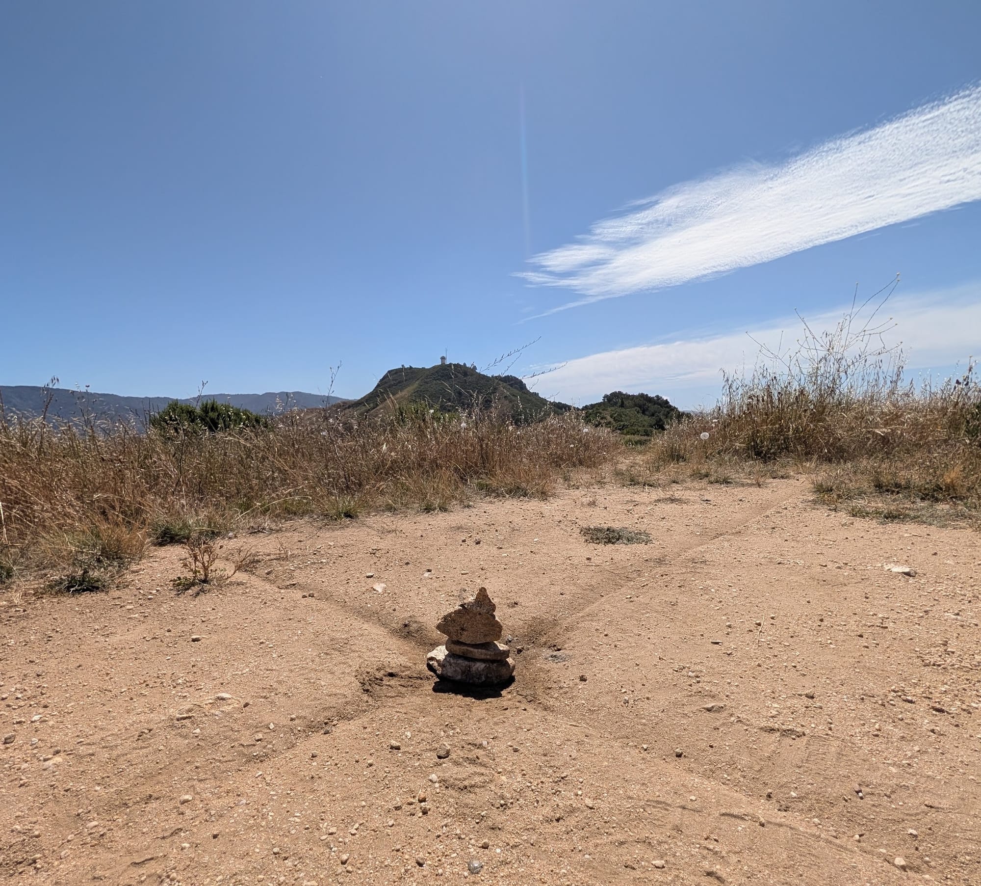
With half a mile to go, the false peaks fell away and the real summit came into view, the old fire tower off to the right.
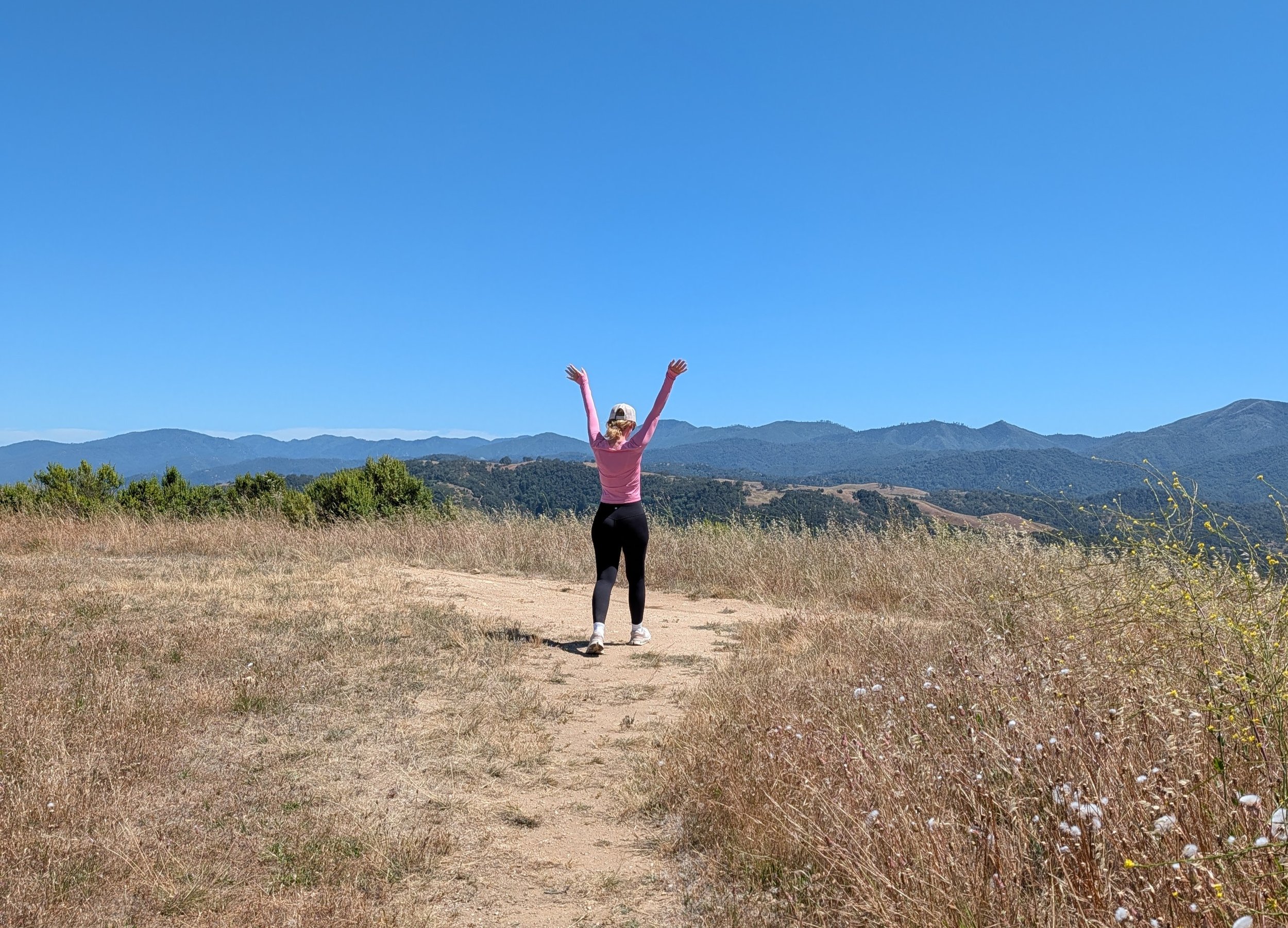
I’ve hiked and run this route for years, and I’ve seen that view more times than I can count. Watching Jill take it in for the first time made it new again. We sat for a while and let the valley settle in.
Back down
Then the wind shifted and came hard across the exposed ridge, and the warmth of the climb was gone in a moment. We got up and started down.
Once we dropped back into the folds of the trail, out of the wind, the air warmed again. We walked down in the low amber light of the valley, content.
The feeling of having stood up there together stayed with us all the way to the trailhead. Behind us, the ridge was a jagged line against the sky, and now she knew exactly where the top was.