A Premier Coastal Running Loop: Carmel-by-the-Sea
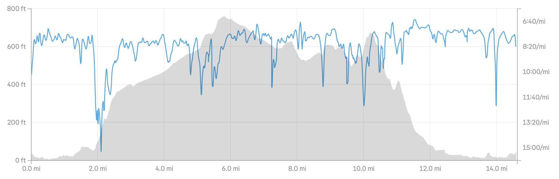
If you are looking for a route that captures the raw, dramatic beauty of the Monterey Peninsula, this 14.6-mile loop is it.
Covering Carmel-by-the-Sea, Pebble Beach, 17-Mile Drive, and the heights of Outlook Drive, this route delivers coastal variety. You get the rugged edge of the Pacific, the quiet majesty of the Del Monte Forest, and a climb that pays off with some of the best panoramic vistas in the area.
The Route at a Glance
Distance: 14.6 miles
Type: Loop
Terrain: Paved roads, rolling coastal paths, and a sustained forest climb.
Elevation Profile: A relatively flat opening 2 miles along the coast, followed by a steady climb up to a peak of nearly 760 feet around mile 6, before a rewarding, flowing descent back to sea level.
Where to Park & Start
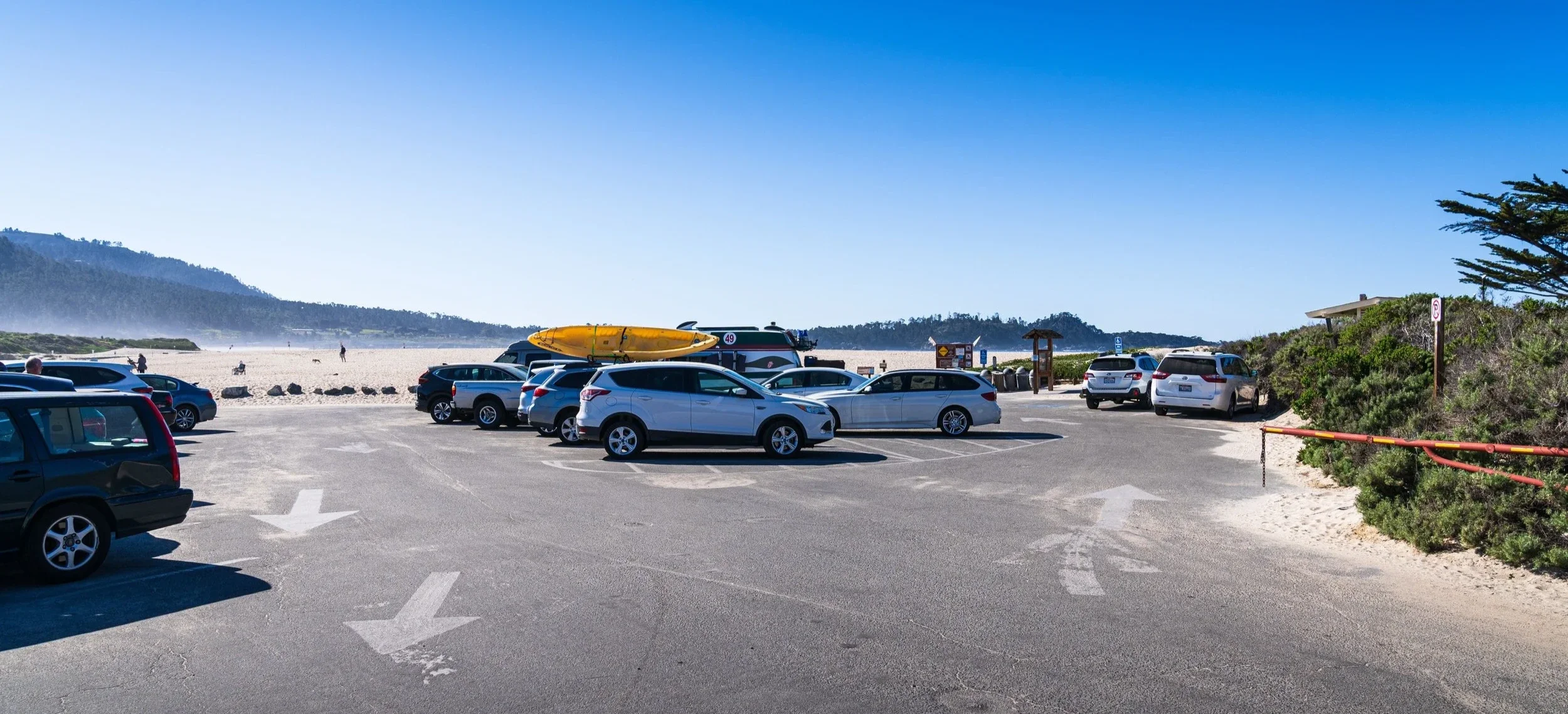
To make logistics seamless, the best place to park and start this run is the Carmel River Beach parking lot. Located at the southern edge of Carmel, it offers free parking right at the water's edge and puts you in the perfect position to tackle the loop. Warning though, this is not a safe beach for swimming as it has a danger rip current. If you want a post run dip, make it over to Carmel Beach at the bottom of Ocean Drive. Starting at Carmel River Beach allows you to use the flat, scenic stretch along the ocean as a gentle warm-up before you hit the hills, and brings you right back to the coast for a stunning, seaside finish.
The Journey Breakdown
The Coastal Warm-Up: Carmel Beach to 17-Mile Drive
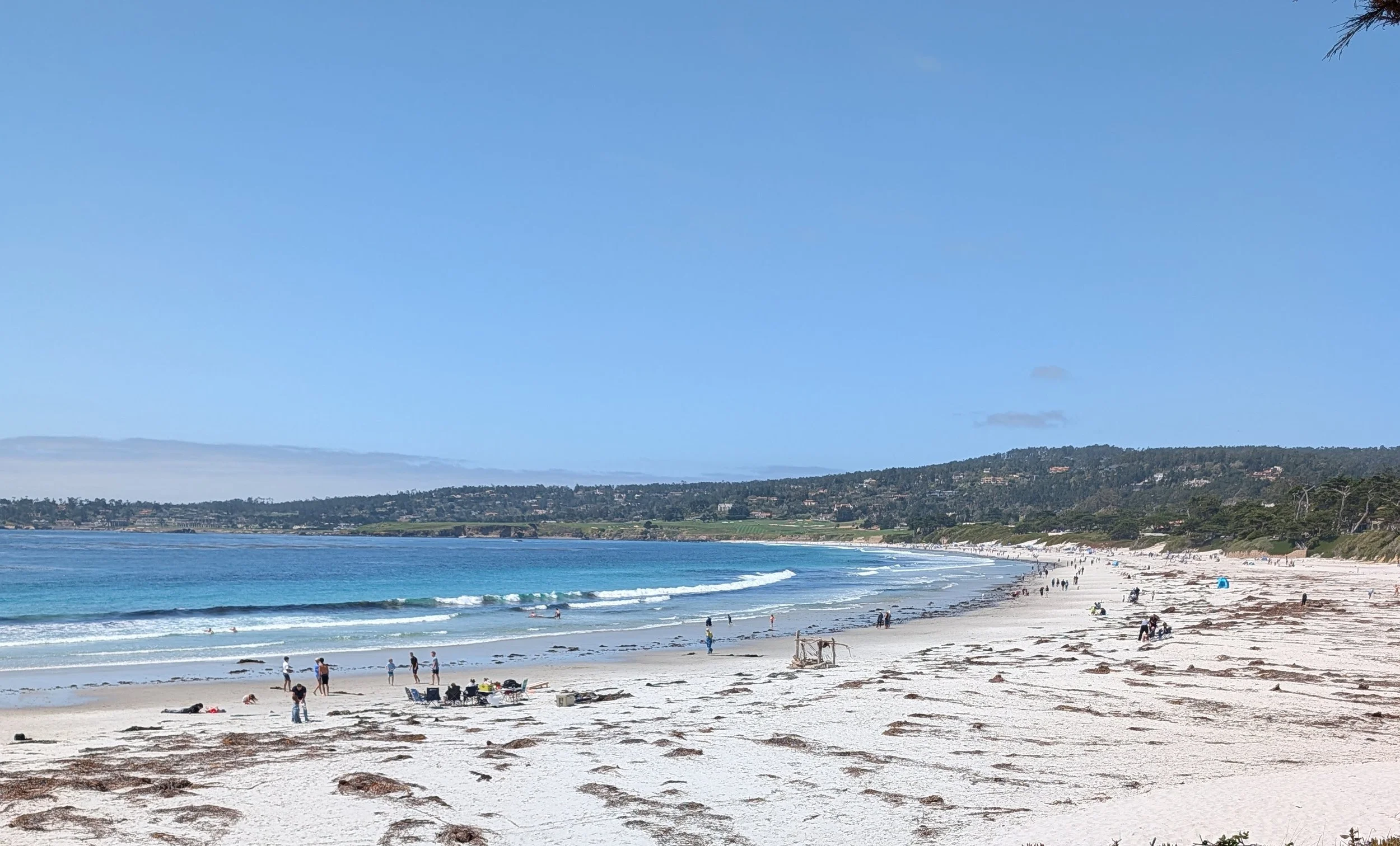
Starting down near the white sands of Carmel Beach, the first couple of miles let you lock into your rhythm with the rhythmic crash of the Pacific as your soundtrack. Heading north, you transition into the legendary 17-Mile Drive. The air is crisp, the ocean views are wide open, and the miles pass quickly.
Into the Forest: The Climb to Shepherd’s Knoll
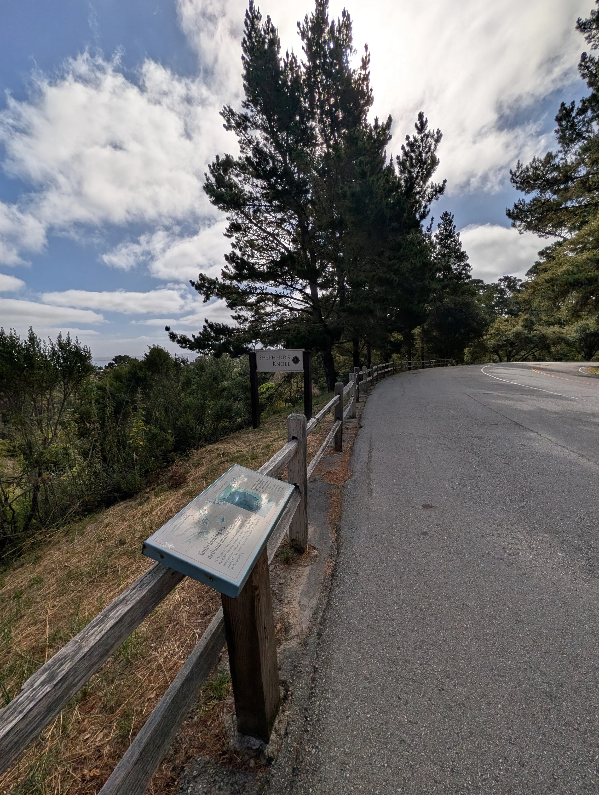
Around mile 2, the route takes a turn inland and upward. You leave the coastal breeze behind as you enter the canopy of the Del Monte Forest.
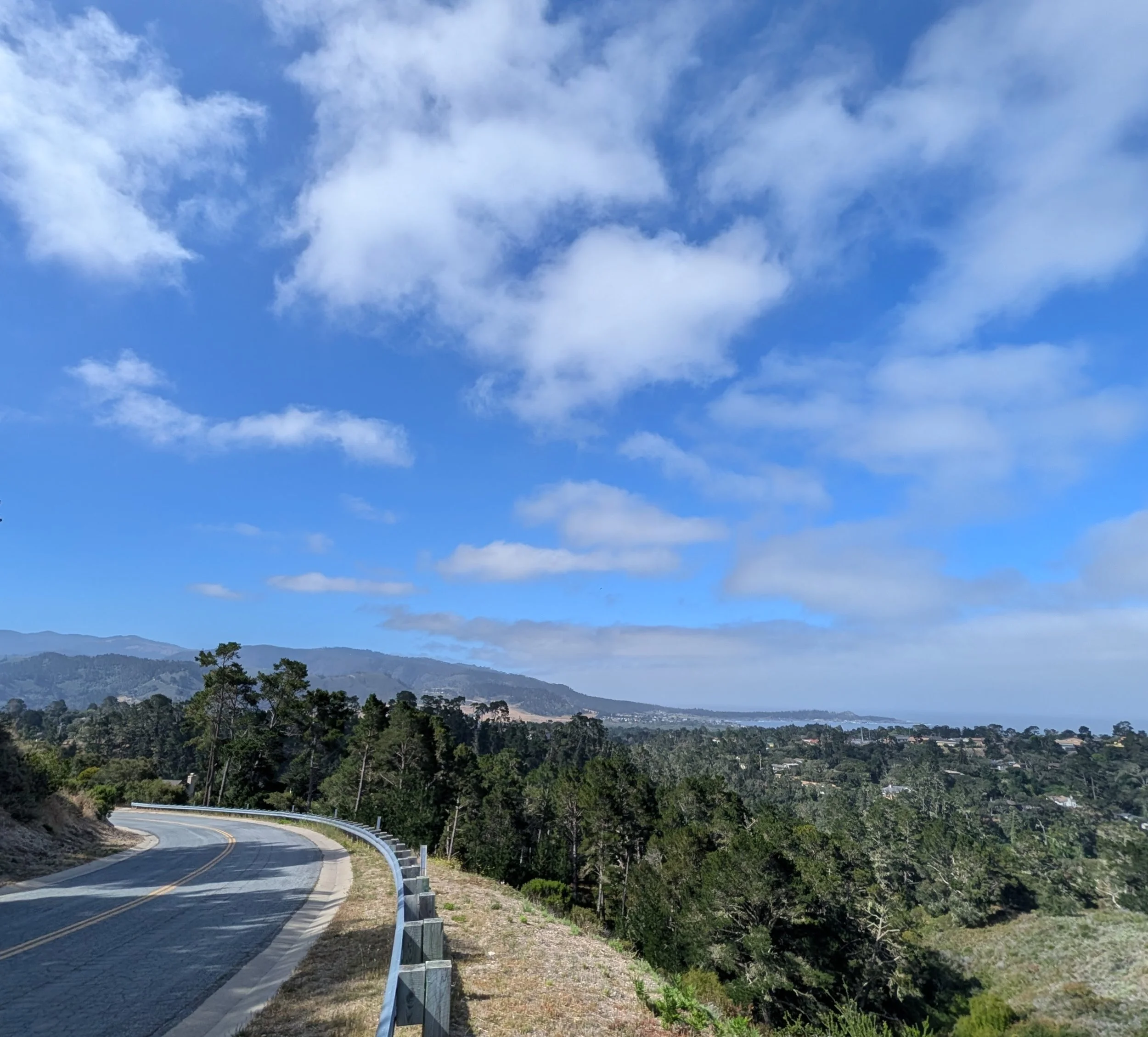
The road winds its way up through towering pines, challenging your legs with a sustained climb. By the time you reach Shepherd’s Knoll, you’ve climbed high above the coastline. Take a momentary breath here—the sweeping, elevated views of the deep blue Monterey Bay cutting into the coastline below are worth every ounce of effort.
The High Points: Outlook Drive
Cruising along the ridge via Outlook Drive, you hit the roof of the peninsula. Running along this upper shelf offers a completely different perspective than the standard coastal highway. To your right, the hills fall away into massive expanses of green pine canopy, framing a distant, unobstructed view of the ocean line. The undulating rollers up here keep your heart rate elevated and your stride sharp.
The Descent: Back to the Coast via Mission Ranch
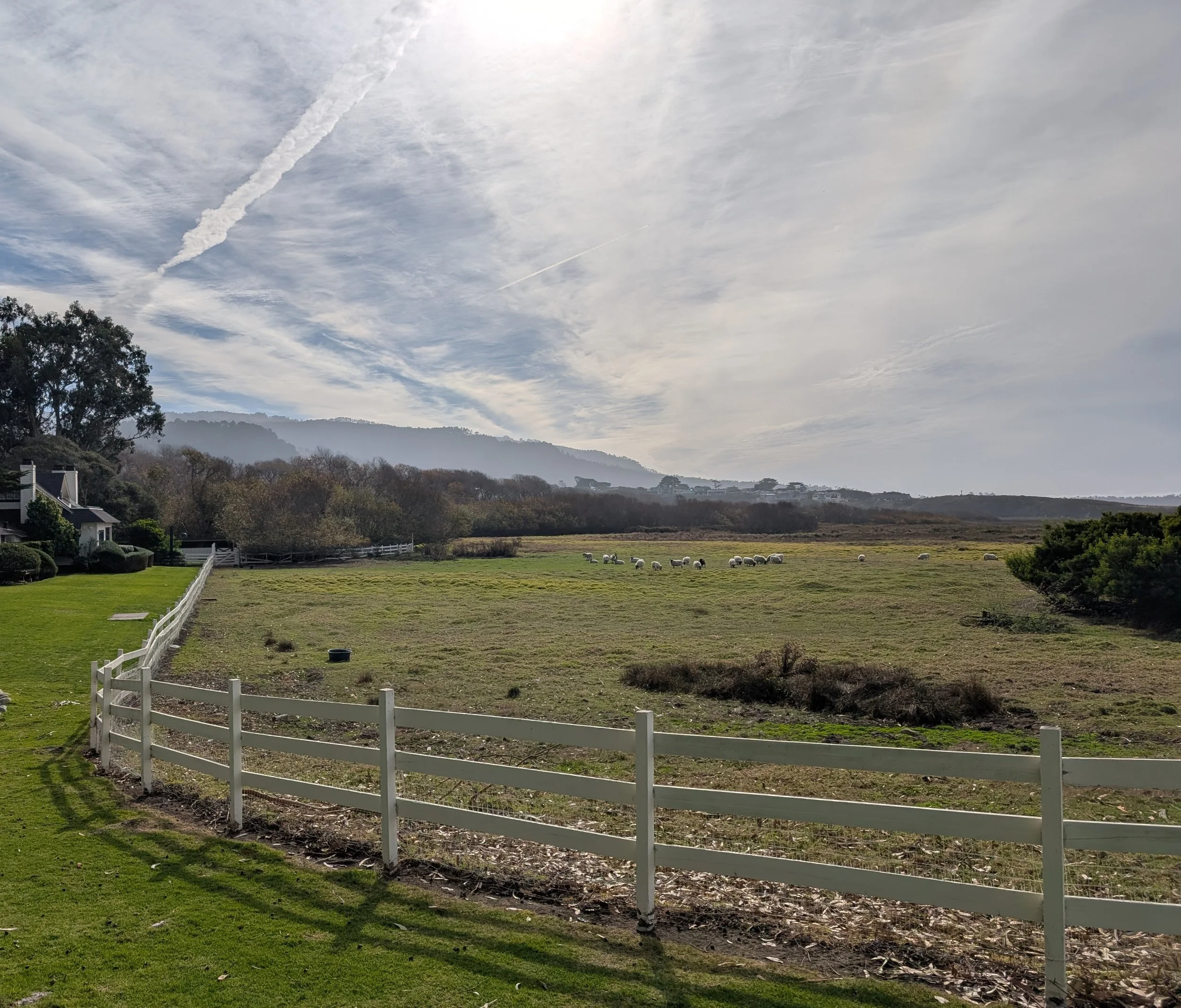
After conquering the high miles, the route rewards you with a fast, flowing descent back down toward Carmel. As you drop back into the flats, the scenery softens. You'll cruise past the iconic, fields of Mission Ranch, where sheep graze against the backdrop of the Santa Lucia mountains and the Carmel River beach. If you’re inclined to stop youwill even notice that in the field of white sheep will graze a lone black sheep. It’s the perfect, serene cooling-off stretch to wrap up an epic 14-mile effort.
Why This Route belongs on Your Bucket List
This isn't just a run; it’s a tour of the peninsula’s distinct microclimates and landscapes. You get the marine layer and ocean waves, the quiet isolation of a forest climb, and the sweeping vistas usually reserved for postcards.