The Peninsula Loop
Fourteen miles around the Monterey Peninsula: the coast, the forest, the ridge, and one detail at the end you only catch if you stop.
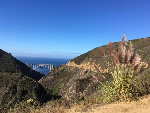
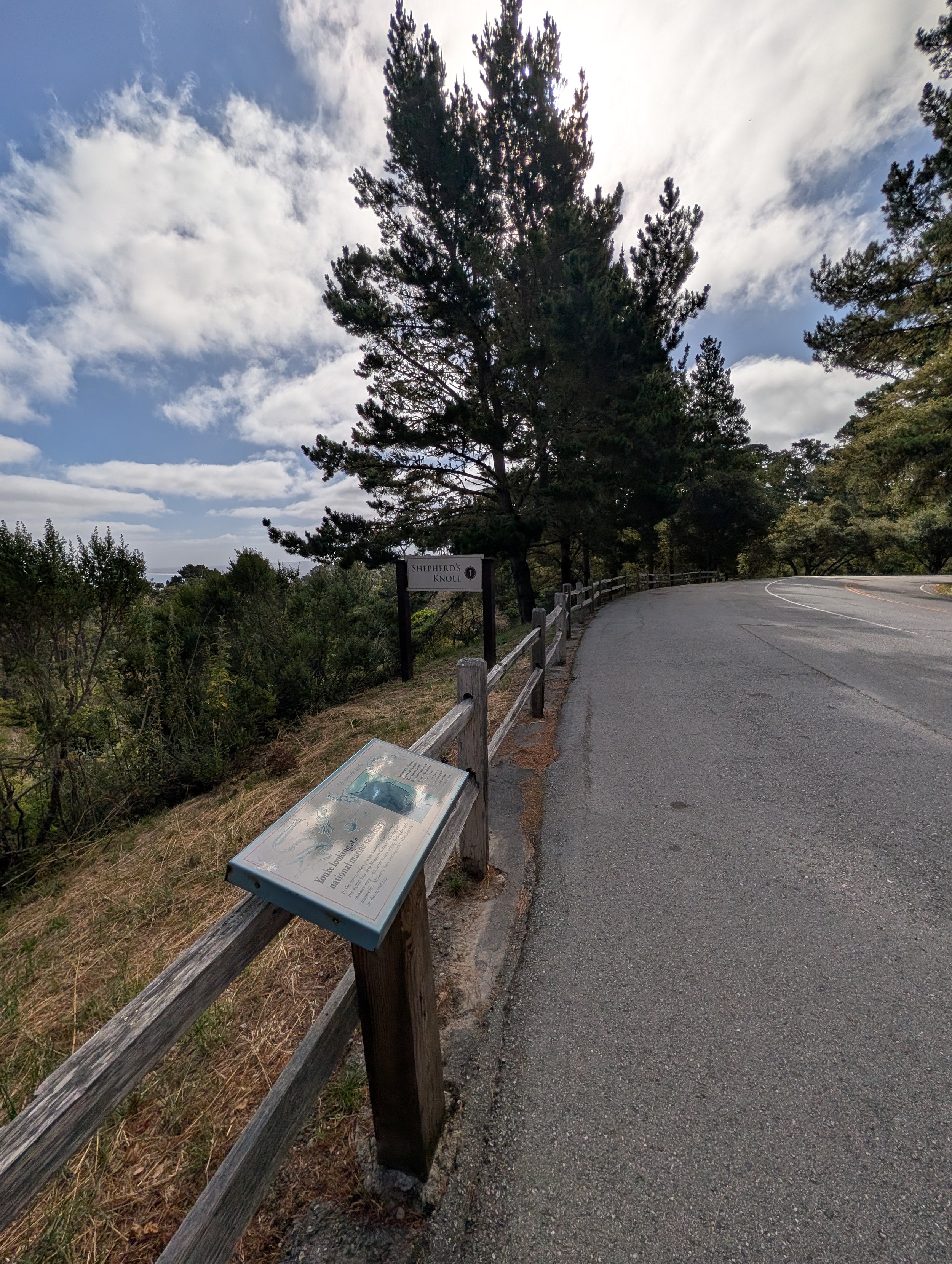
Six miles in, the road stopped climbing at Shepherd’s Knoll, nearly 760 feet above the ocean I’d started beside. Below, the deep blue of Monterey Bay cut into the coastline. Behind me, a long climb through the pines. Ahead, the ridge.
The loop still had one more thing to show me, near the end, back down at sea level. It’s the one detail on the whole route you only catch if you stop.
Carmel River Beach
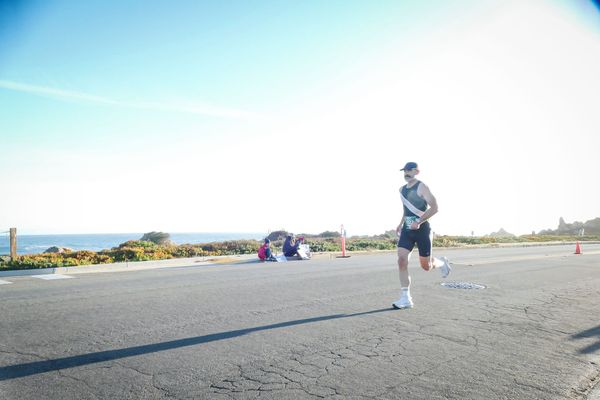
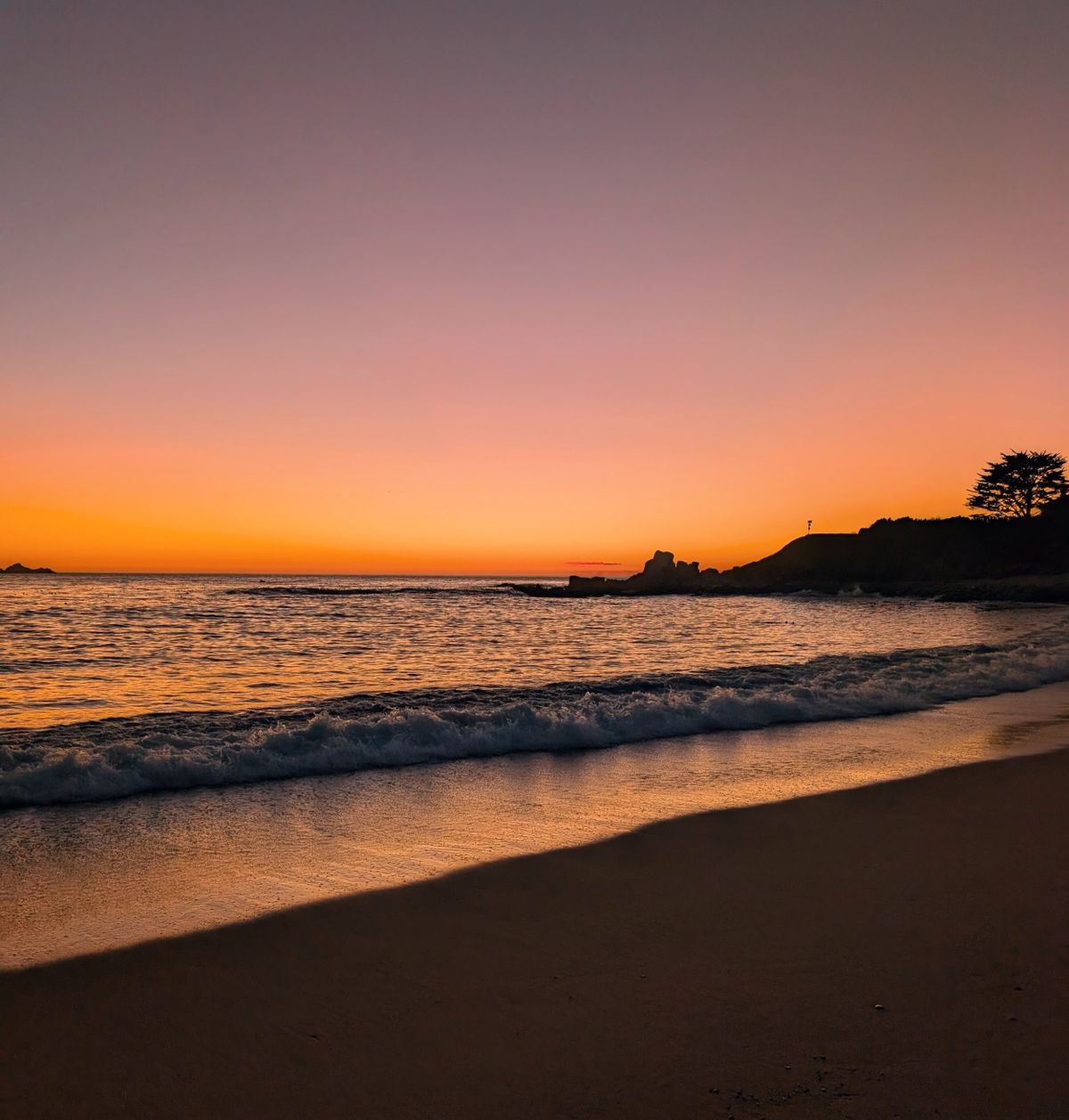
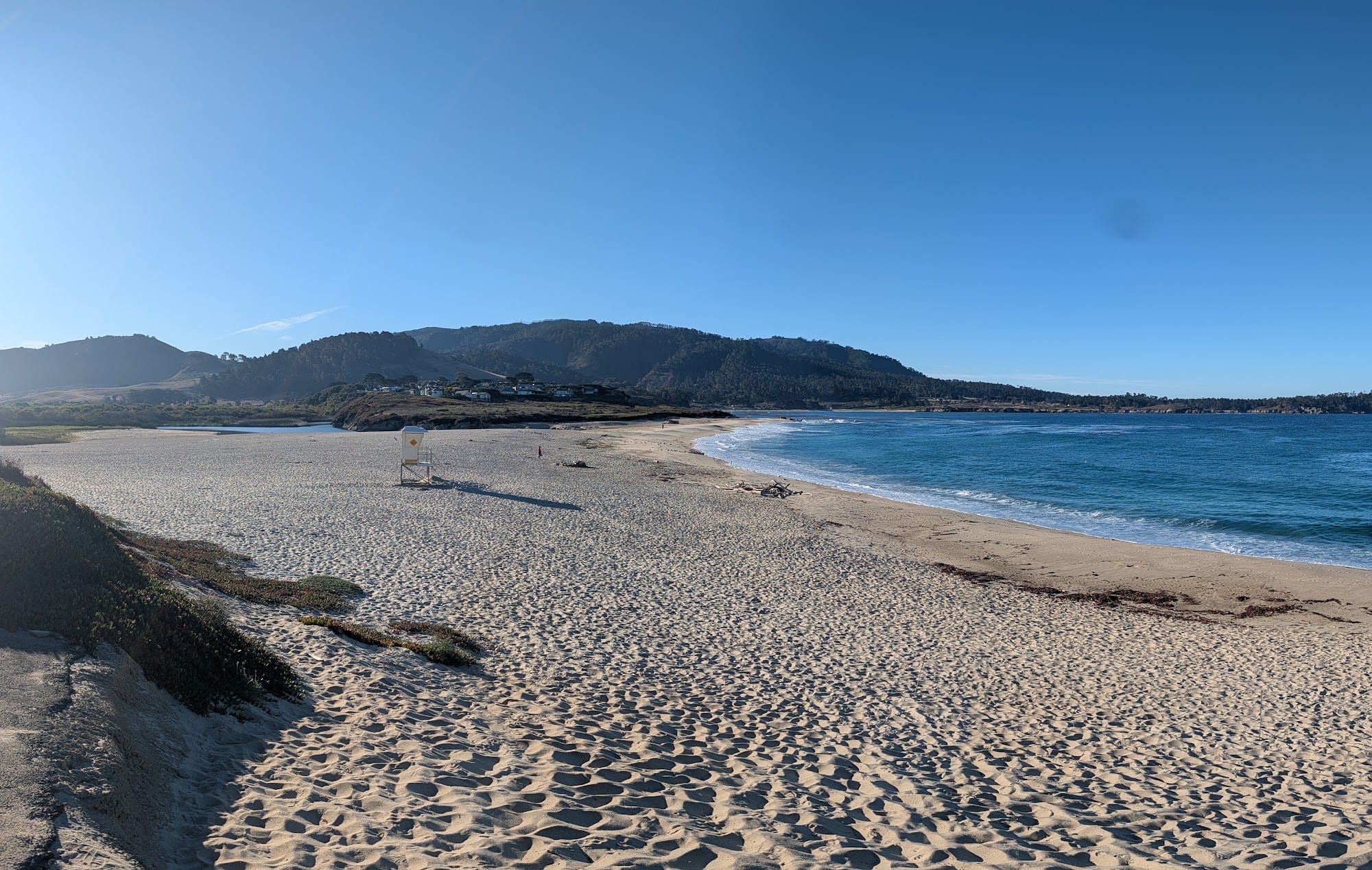
It was a Sunday at the end of June, a little after eight. The loop starts at Carmel River Beach, at the southern edge of Carmel. The first couple of miles are flat along the ocean, past the white sand of Carmel Beach, with the Pacific breaking beside you the whole way. Then north onto 17-Mile Drive. The air was crisp, the views were wide open, and the miles went quickly.
Into the forest
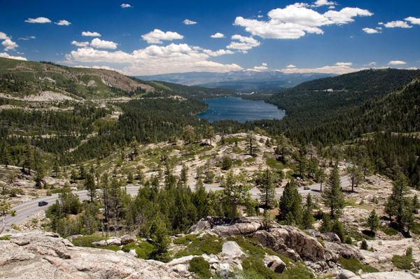
Around mile 2 the route turns inland and up, and you trade the coastal breeze for the canopy of the Del Monte Forest. The road winds up through tall pines, a sustained climb that works your legs, until you come out at Shepherd’s Knoll. Take a breath there. The view of the bay below is worth every bit of the climb.
Outlook Drive
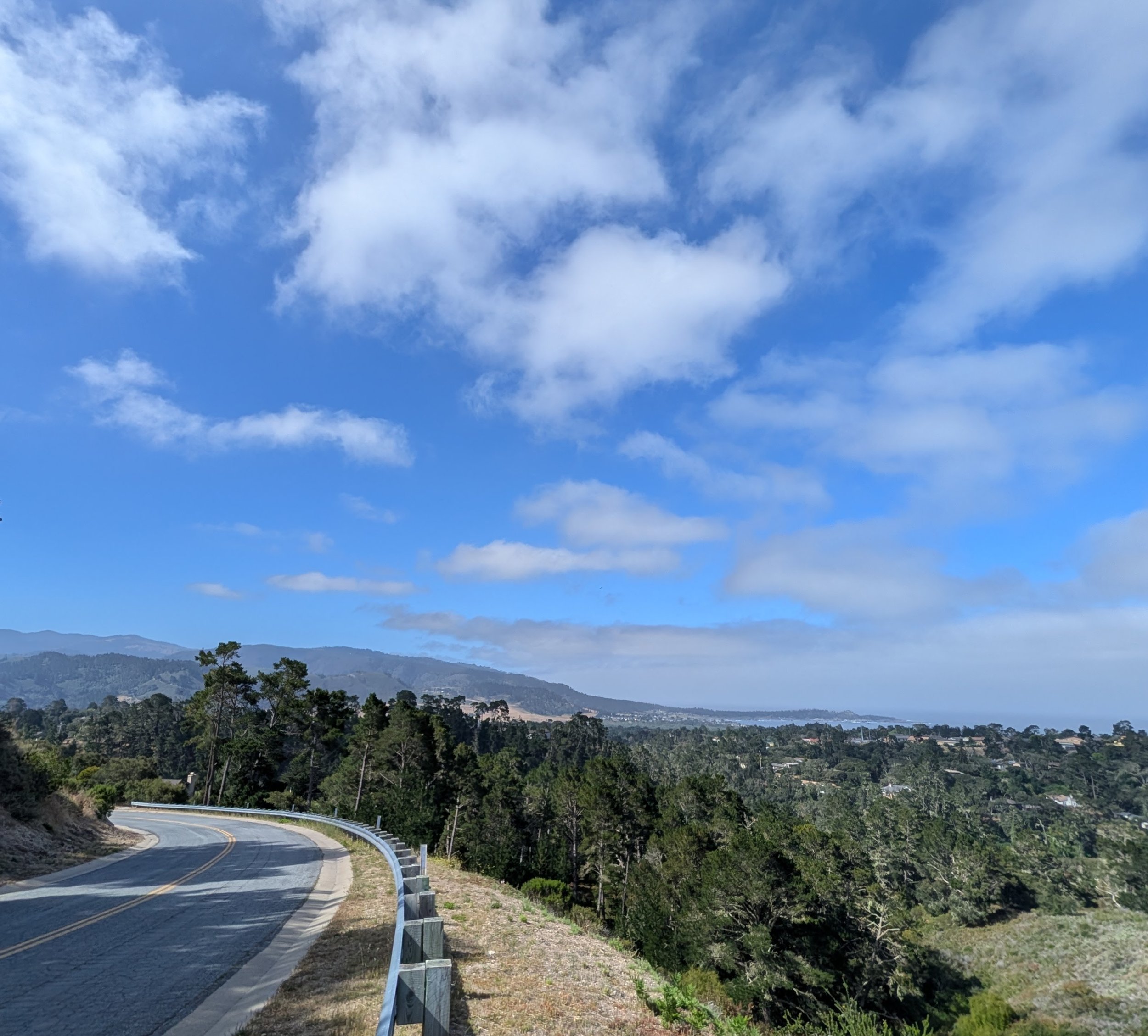
From the knoll, Outlook Drive runs along the ridge, the roof of the peninsula. It’s a different coast than the one you see from the coastal road. To the right, the hills fall away into a wide sweep of pine canopy, with the ocean line out past it. The rollers up there keep your heart rate up and your stride sharp.
The route
- A 14.6-mile loop from Carmel River Beach through Carmel-by-the-Sea, Pebble Beach, 17-Mile Drive and Outlook Drive
- Paved roads, rolling coastal paths and a sustained forest climb
- Flat for the first two miles, a steady climb to nearly 760 feet around mile 6, then a long descent back to sea level. Mine took two hours moving.
- Park free at Carmel River Beach, right at the water’s edge. Don’t swim there: the rip current is dangerous. For a post-run dip, go to Carmel Beach at the bottom of Ocean Avenue.
In one loop you get the marine layer and the waves, the quiet of a forest climb, and the kind of views usually saved for postcards.
Mission Ranch
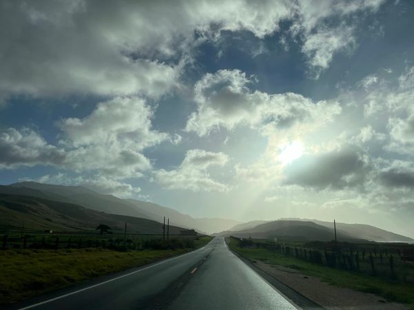
After the ridge, the descent back toward Carmel is fast and flowing. Down in the flats the scenery softens. The route runs past the fields of Mission Ranch, where sheep graze with the Santa Lucia Mountains and Carmel River Beach behind them. It’s a good stretch to cool down at the end of fourteen miles.
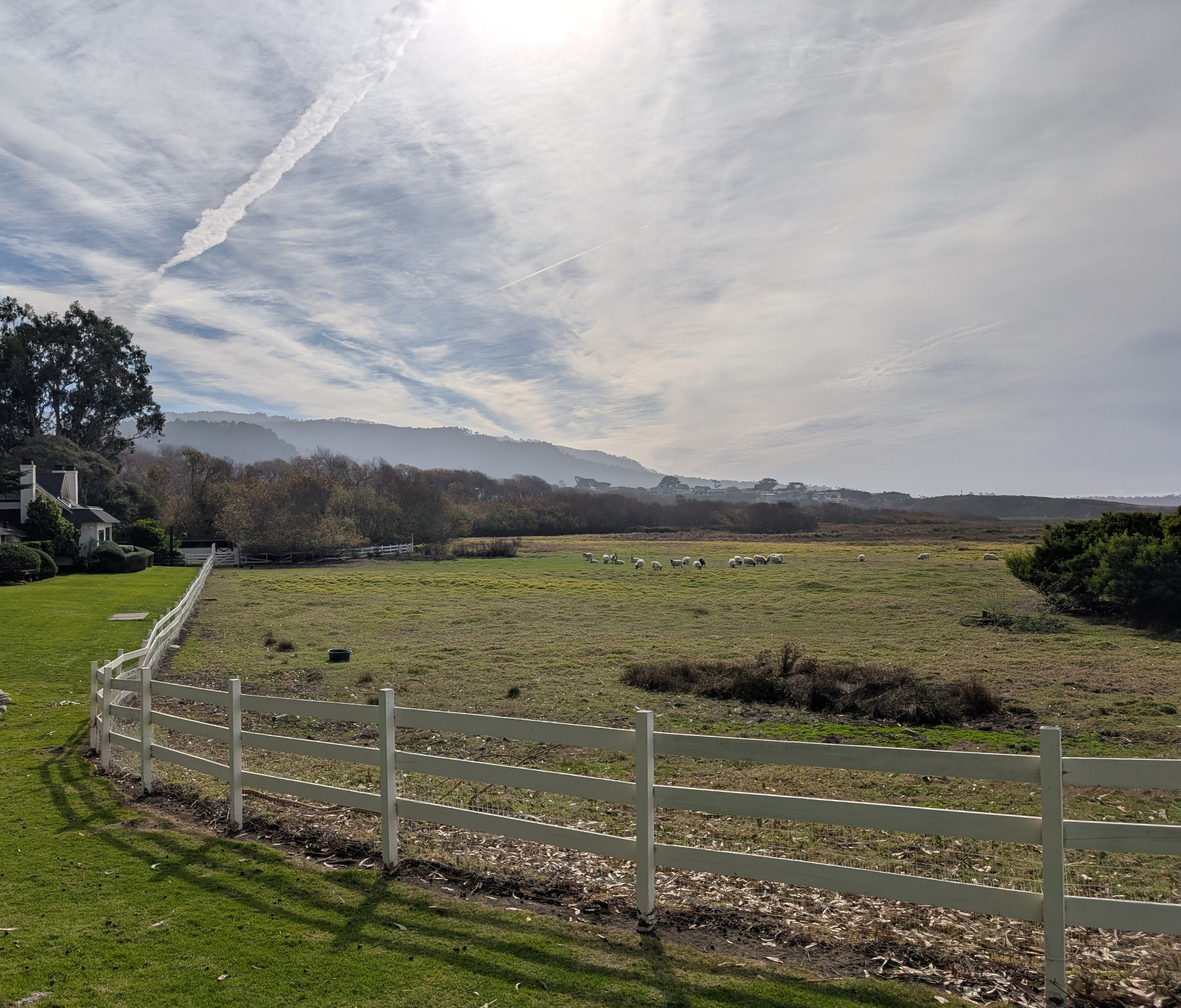
If you stop at the fence for a minute, you’ll see it: in a field of white sheep, one black one.